Ground Penetrating Radar (GPR)
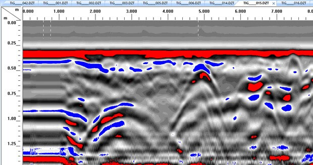
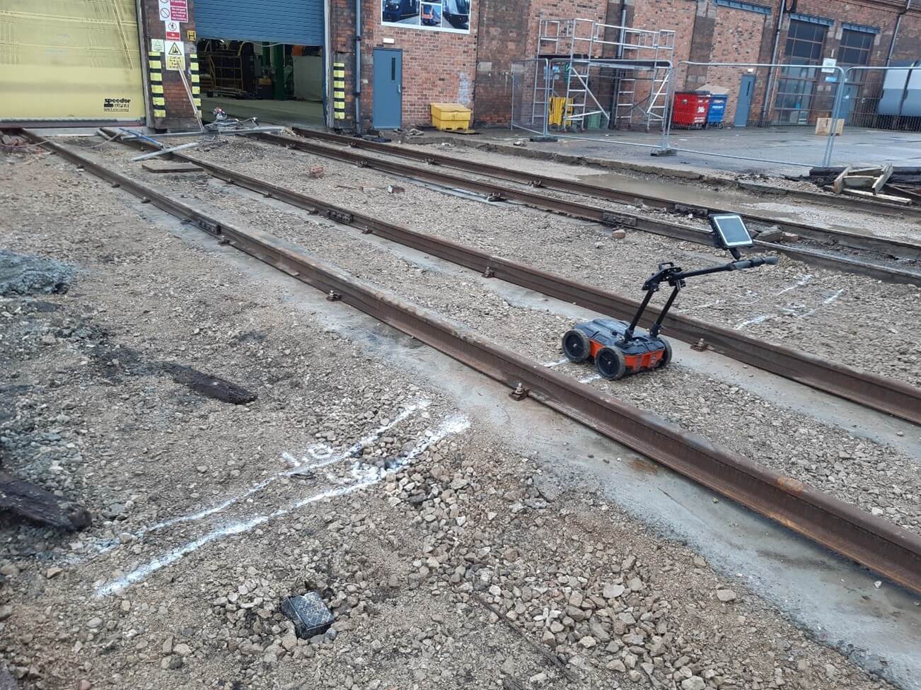

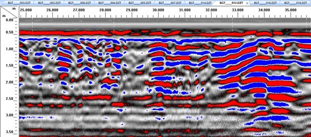
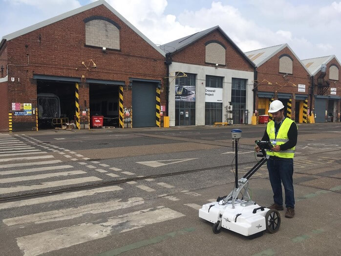
Ground Penetrating Radar (GPR) is a geophysical technique that uses pulses of high frequency microwave radiation to image the ground. Typically operating in the 50 MHz to 2.6 GHz frequency range, a transmitter is used to emits electromagnetic energy into the ground. When the energy encounters a buried object or a boundary between contrasting materials, it may be reflected or refracted or scattered back to the surface. An antenna picks up this residual signal and specialist software is used to compare the two and generate a 2D image through the ground assessing both the location and the depth of a given feature.
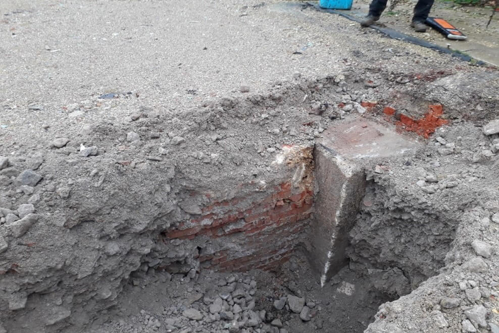
We routinely use GPR to identify the presence of underground tanks (USTs), relict foundations (pile caps, infilled basement slabs etc) as well as structural elements such as the arrangement and size of reinforcement within concrete.
Using different equipment configurations, it is possible to accurately identify features to depths in excess of 10m below surface. When applied early in a project, GPR can provide invaluable insight into the ground, both allowing for more cost-effective and targeted ground investigations and advance notice to Clients of potential issues which may affect development.
Some of our most notable projects have used GPR successfully to:
- Undertake pre-pile assessment of ground obstructions as an alternative to costly un-targeted site-wide probing.
- Locating underground fuel storage tanks (USTs) beneath concrete floor slabs.
- Identifying unrecorded service runs – we recently discovered a culvert which ran beneath a site which no-one knew was there!
Please contact us for more information or for an informal discussion with one of our Chartered professionals.