Aerial Surveys & Inspections
Aerial Surveys & Inspection Services
We are a qualified team experienced in providing aerial survey and inspection services. We use professional-level drone technology to take both high-resolution still and video imagery from a safe distance for arial mapping and drone surveying.
With almost 20 years’ experience, we are the number one choice for many in aerial mapping and drone surveys & inspections. We work with a wide range of organisations including Local Authorities, architects, planners, private investors and house builders.
Speak with us today for more information about our aerial surveys and inspection services by calling 07341 197178 alternatively by completing our ‘Get in Touch’ form.
Our Aerial Surveys & Inspection Services
We provide fully-insured and CAA approved aerial surveys, aerial mapping and inspection consultancy services to individuals and organisations across the UK.
Our drone surveys can suit basic to complex requirements. Our experienced drone pilot holds A2CoC (Certificate of Competency) allowing us to undertake commercial UAV operations within 30m of uninvolved people.
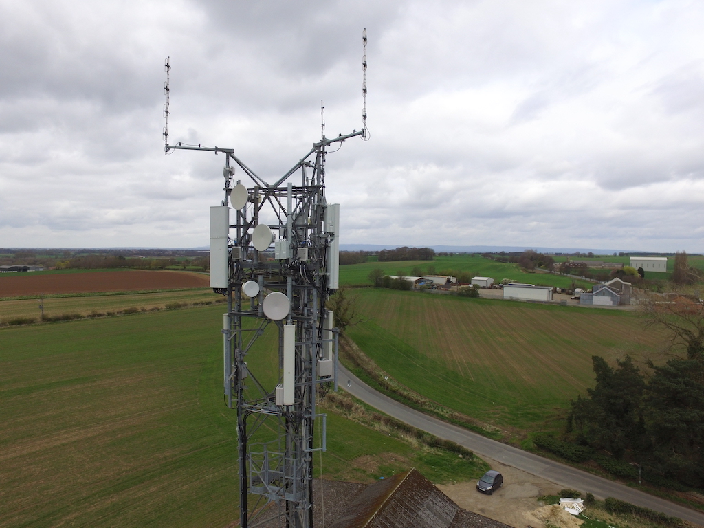
Whether you need detailed terrain imagery for planning and land assessment purposes, aerial mapping, to inspect the condition of a hard-to-reach structure or assess power transmission infrastructure for faults, we have a package to suit your needs and requirements.
Applications for Aerial Surveys and Inspections include:
- In-accessible asset condition inspection (wind turbine, bridge arches, roof structures)
- Powerline inspection (visible spectrum and thermal imagery of pylons and cables)
- Low angle / oblique assessment of rock faces for condition assessment and mapping
- Construction stage progress recording
- High-resolution desk study imagery.