Electrical Resistivity Tomography (ERT)
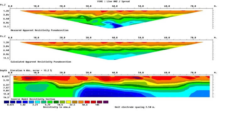
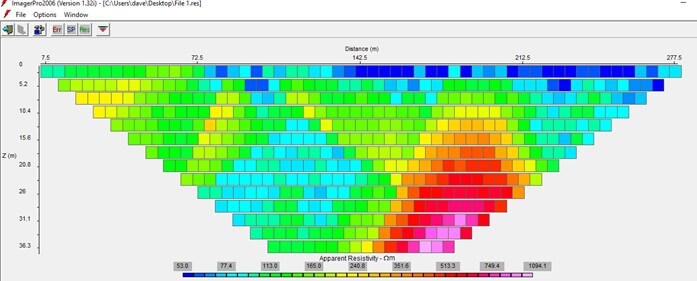
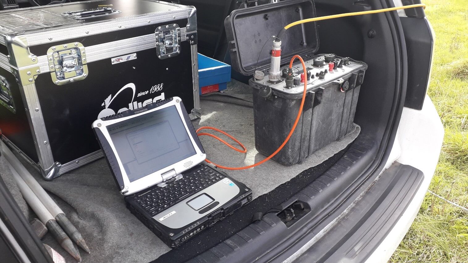
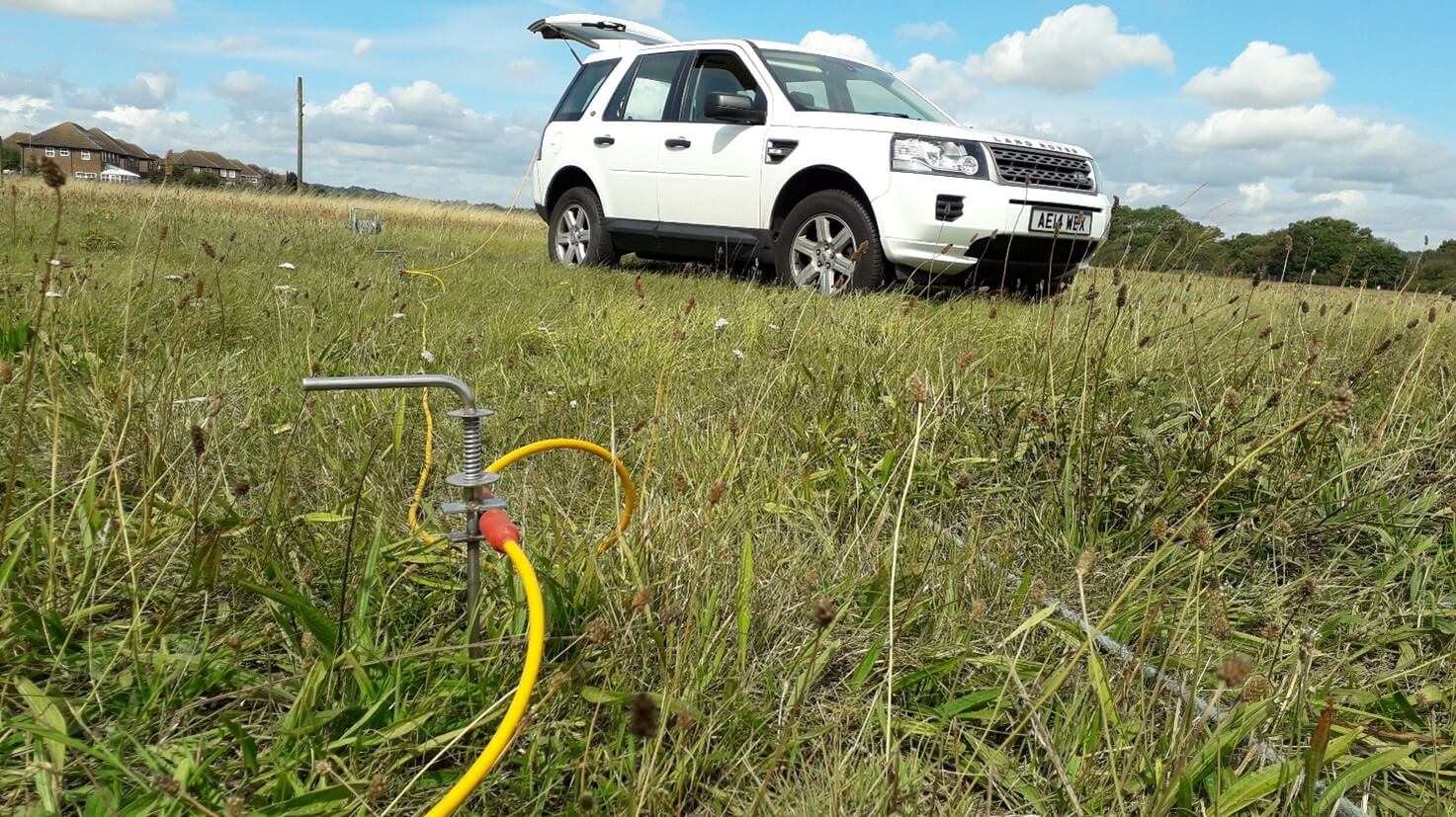
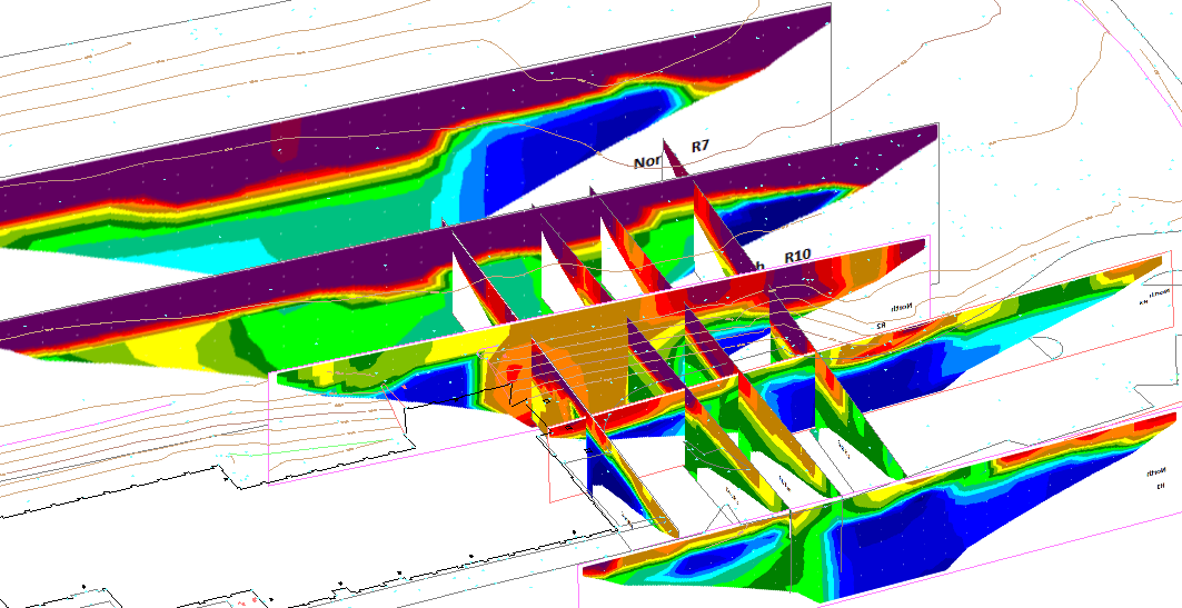
As the electrical properties of the ground vary with material type and condition, by applying a very small electrical charge to the ground, it is possible to remotely measure and infer both material and structural changes within the ground down to depths in excess of 30m. We use specialist mathematical processing and inversion software to reconstruct these measurements of resistivity into a detailed 2D cross-section profiles and 3D ground model – all without ‘breaking ground’.
ERT comes into its own as a cost and time-effective way of assessing and communicate the complexity of the ground and is ideally suited to assessing stratigraphic variation, allowing anomies to be identified early and intrusive investigations to be targeted in an intelligent and evidenced way.
Examples of ERT application include;
- Determination of depth and continuity of bedrock
- Identification of dissolution features (sinkholes)
- Locating buried structures
- Delineating the depth and lateral extent of infilled quarries and pits
- Slope stability assessments
- Groundwater profiling
Please contact us for more information or for an informal discussion with one of our Chartered professionals.